Well, today is our 22nd day on the road since leaving Oregon. No major problems or lack of preparation.
Here is what Wiki says about Whitehorse:
Whitehorse (French pronunciation: [wajtɔʁs]) is the capital of Yukon, and the largest city in Northern Canada. It was incorporated in 1950 and is located at kilometre 1426 (Historic Mile 918) on the Alaska Highway in southern Yukon. Whitehorse’s downtown and Riverdale areas occupy both shores of the Yukon River, which rises in British Columbia and meets the Bering Sea in Alaska. The city was named after the White Horse Rapids for their resemblance to the mane of a white horse, near Miles Canyon, before the river was dammed.
Because of the city’s location in the Whitehorse valley and relative proximity to the Pacific Ocean, the climate tends to be milder.[4] At this latitude, winter days are short and summer days have up to about 19 hours of daylight.[5][6] Whitehorse, as reported by Guinness World Records, is the city with the least air pollution in the world.[7]
As of the 2021 Canadian census, the population was 28,201[8] within city boundaries and 31,913[9]in the census agglomeration. These figures represent approximately 70 and 79 percent, respectively, of the entire population of Yukon.[10]
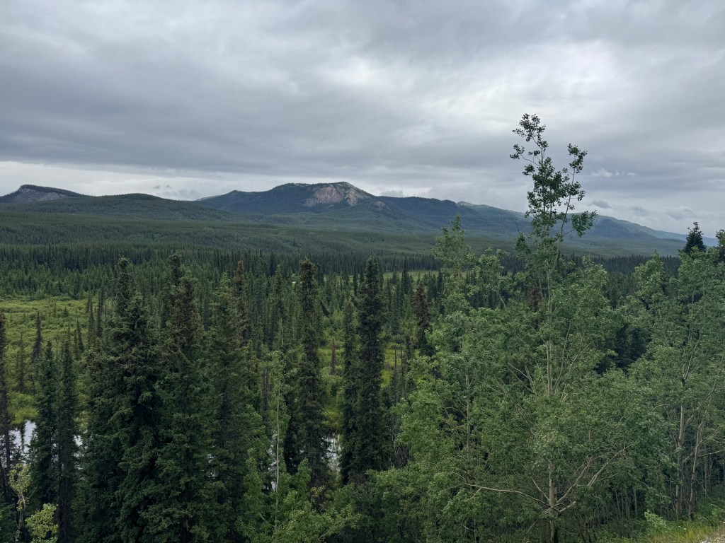
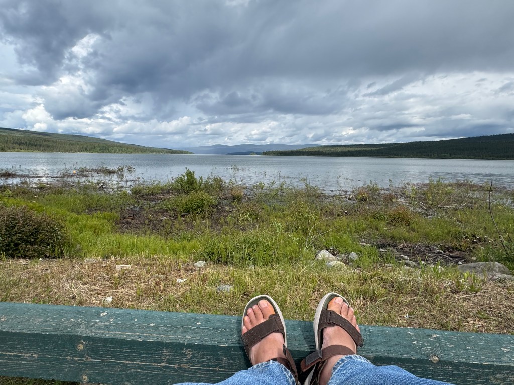
Here are a few pics from between Dawson Creek and Whitehorse.
The trek group has been pounding out the miles for 4 days since departing Dawson Creek. Tomorrow we will have a short 100 mile drive or so to Whitehorse, the capital of Yukon, a relatively large place, for three nights of R&R. More about the place when we get there.
At last night’s campsite, took the bike out for a short ride and saw a small tent up on the hillside, with a bicycle and a guy at the picnic table.
I stopped to say hello and ask him about his ride. He had departed up near Anchorage about three weeks ago. He showed me a video of a pass he went over that was ice and snow covered. He said he took a spill but was not injured.
He is headed to Key West, FL!
I told him about some of my 300 mile + bicycle rides – up the coast of Maine and New Brunswick then across the Bay of Fundy to Nova Scotia, down the CA coast through Big Sur and on Maui and the Big Island. I asked what he usually ate for breakfast – “A granola bar, some nuts etc.”. I smiled and grimaced at the same time, if a person can really do that.
So, I invited him to breakfast in the AM today and he joined us at 8:15. Karen made us some french toast, sausage links and a big bowl of fresh fruit. Karen felt sorry for him, so she also offered him some warmed up strip steak that he REALLY appreciated.
His name was Tim. He was 32, had a literature degree from Purdue and a Middle East/Greece Anthropology graduate degree from a University in England. I enjoyed conversing with him. We wished him safe travels on the rest of his journey, then we departed to Teslin.
Scenery has been a bit monotonous, with short hills interspersed with flat stretches of mostly glacial moraine and trees. Roads really good, no steep hills, a few spots with gravel that were only several hundred yards long. Lots of trees. No forest fire burn scars to be seen. Just trees.
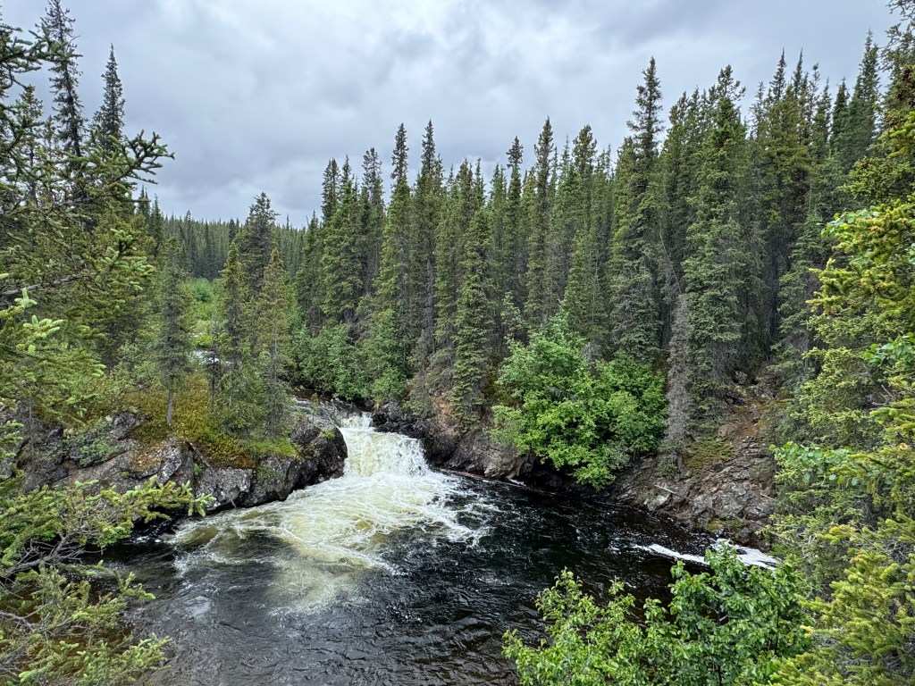
Stopped and had a short walk to a waterfall – Rancheria Falls – on the way here, but it was not that impressive. But the plunge pool below the falls looked fishy. No big mountains to be seen, but……lots of trees, none as large as the trees at my front porch in Depoe.
Rancheria Falls.
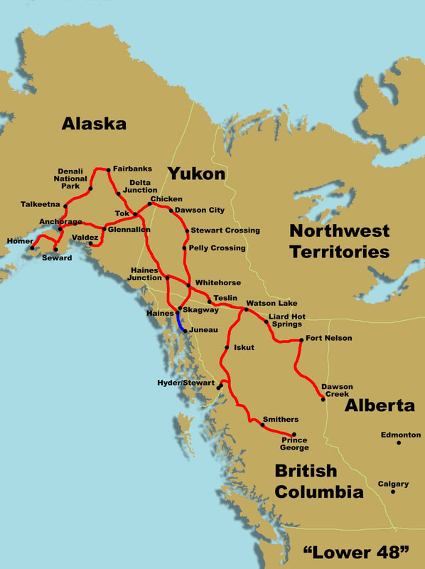
The group is camped on Teslin Lake, just 100 yards away. All the amenities are here at the campground. Teslin is a good sized place, compared to what we have passed through for the last 4 days. The population of Teslin is 239.
Went down to the boat launch to get some information about…….fishing. Lake trout, rainbows grayling are in here. A big lake.
Have screaming fast inet tonight – 152 mbps from Dick the widower’s Starlink next site over. Will make use of that and do lots of uploading pics tonight and in the AM.
There was no cell coverage all day and just a few little outposts with gas and maybe a restaurant along the 150 miles today.
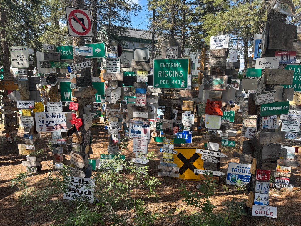
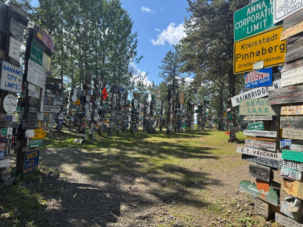
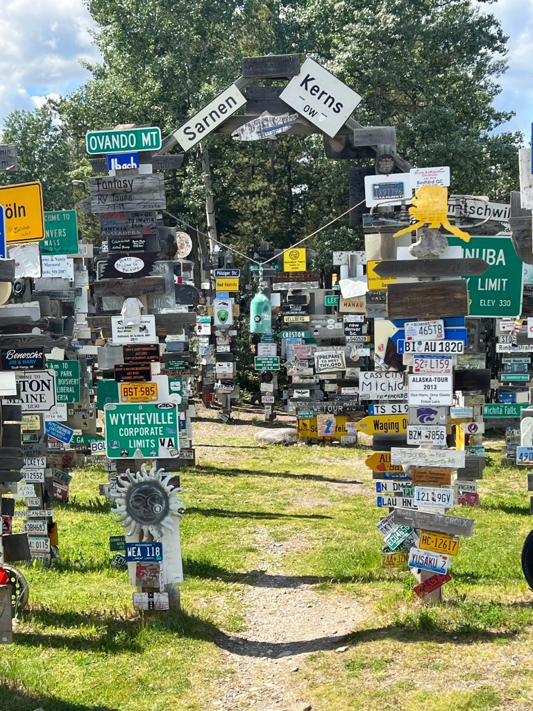
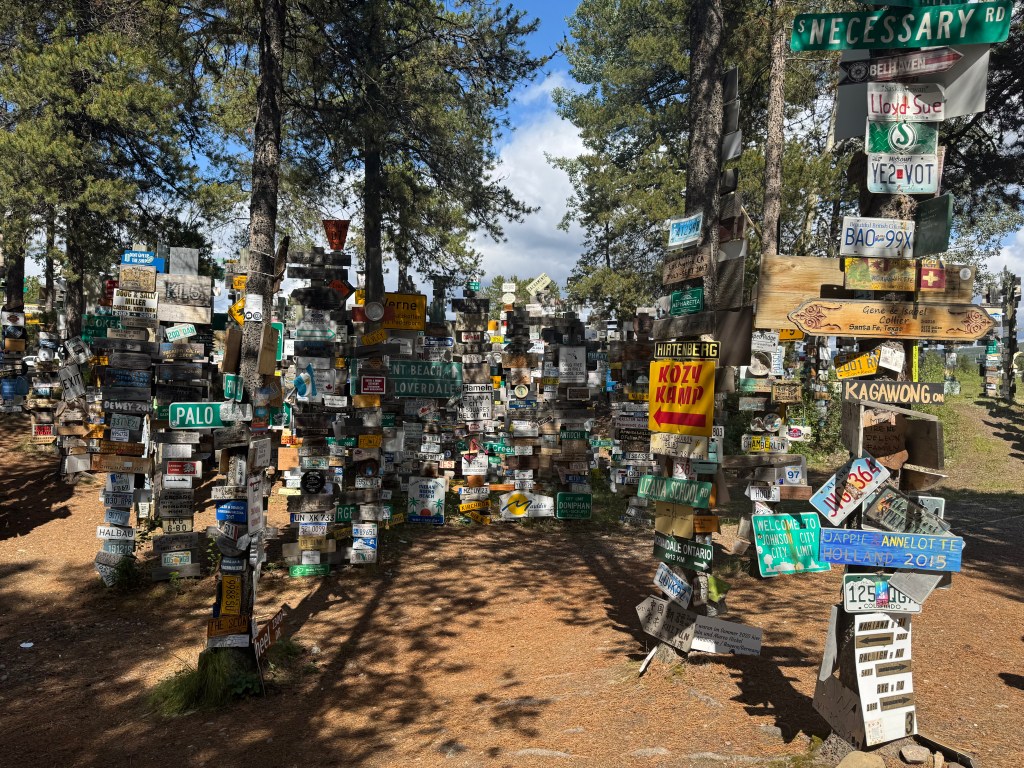
Sign Post Forest is a collection of signs at Watson Lake, Yukon, Canada, and is one of the most famous of the landmarks along the Alaska Highway. It was started by a homesick GIin 1942. He was assigned light duty while recovering from an injury and erected the signpost for his hometown: Danville, Ill. 2835 miles. Visitors may add their own signs to the more than 100,000 already present. light duty while recovering from an injury and erected the signpost for his hometown: Danville, Ill. 2835 miles. Visitors may add their own signs to the more than 100,000 already present.
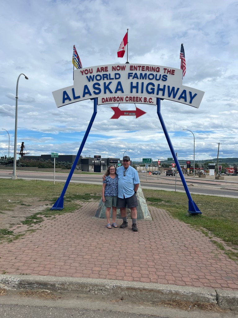
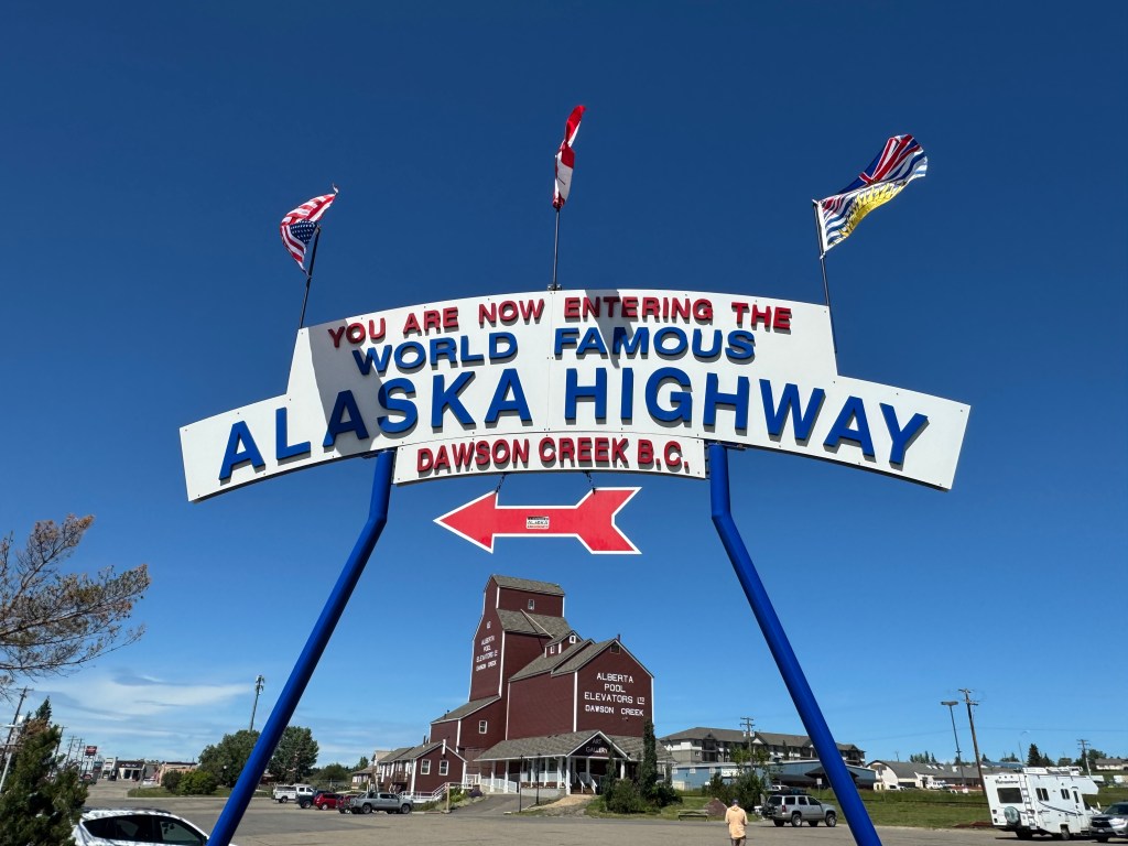
Our sign!
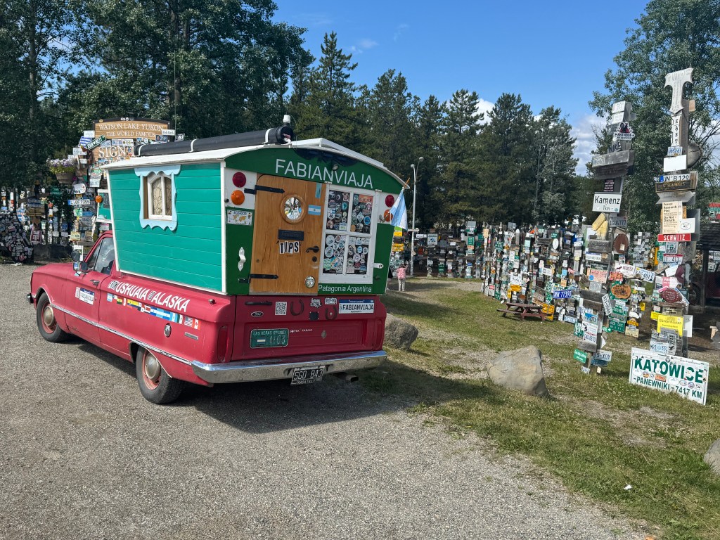
Can you imagine traveling from Patagonia to the Yukon in this truck?
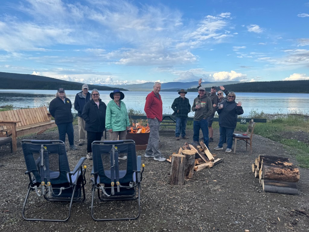
The roads, overall, so far have been great. Wide, smooth, and with good shoulders. Lots of drilling for gas and gas producing wells since departing Jasper, so there are many big rigs barreling down the road hauling chemicals, drilling equipment, rock and infrastructure support material.
To be continued……..it is only day 3……..
Between Dawson Creek – Fort Nelson
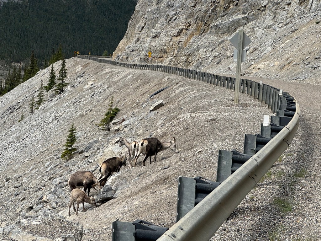
Our first mountain sheep. Also saw bison and moose today.
So what EXACTLY is Canada Day? What is the big deal? The concert, parade, car show and all the flags flying? And everything closed on a Tuesday, mid week?
Well, WIKI says:
Overview
Canada Day, celebrated annually on July 1st, commemorates the anniversary of the British North America Act, which in 1867, united three separate British colonies into the single nation of Canada. Initially known as Dominion Day, the holiday was renamed Canada Day in 1982 when Canada achieved full legal independence from the United Kingdom.
Here’s a more detailed breakdown:
Confederation: The British North America Act (now known as the Constitution Act, 1867) officially created the Dominion of Canada on July 1, 1867. This act brought together the colonies of Nova Scotia, New Brunswick, and the Province of Canada (which was later divided into Ontario and Quebec).
Independence: While Canada became a self-governing dominion in 1867, it wasn’t until the Canada Act of 1982 that it achieved full legal autonomy and severed ties with the British Parliament.
Celebrations: Canada Day is a federal statutory holiday and is celebrated with various festivities, including parades, fireworks, concerts, and community gatherings. Canadians often display the Canadian flag and wear the national colors, red and white.
Significance: Canada Day is a day for Canadians to celebrate their country’s history, culture, and achievements, as well as to reflect on what it means to be Canadian. The holiday also serves as a reminder of the ongoing process of nation-building and the importance of inclusivity and diversity.
So, there you have it. Like our 4th of July, which is in two days.
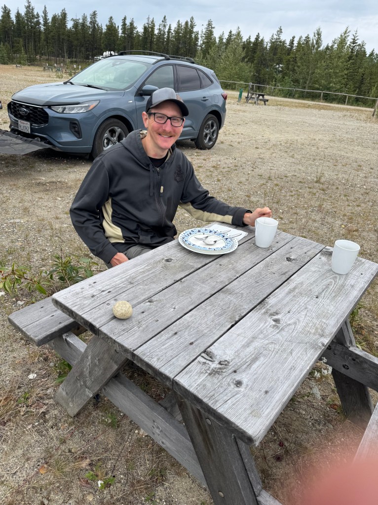
Nice breeze, low 70s, sunshine, good friendly people interacting with each other. One couple is from central Florida and another long distance traveler is a friendly couple from Maine.
The first 1/2 of the day the road to Dawson Creek was bumpy but it transitioned to much better after Grand Cache, or about the second 1/2 of the drive. Drove about 120 miles today to Dawson Creek.
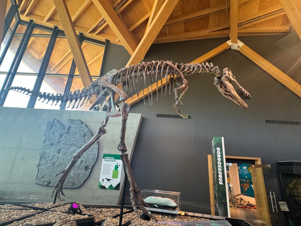
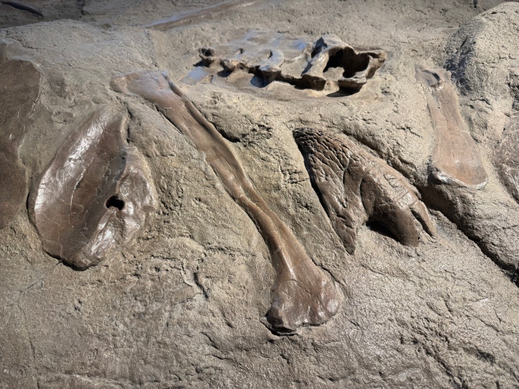
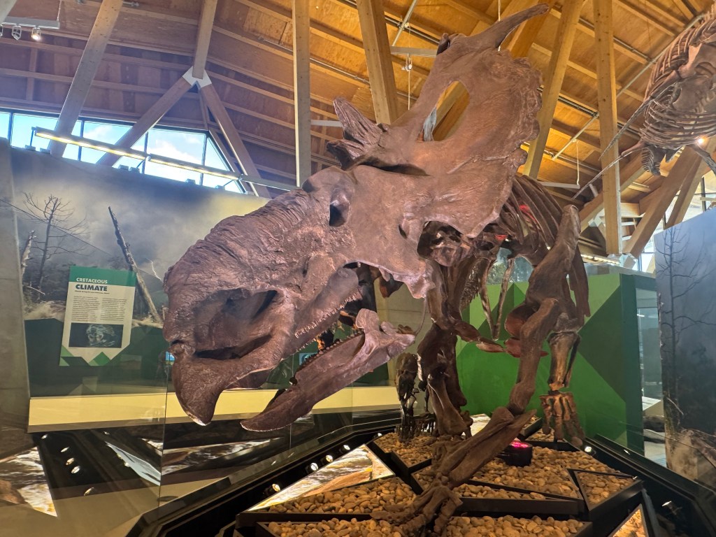
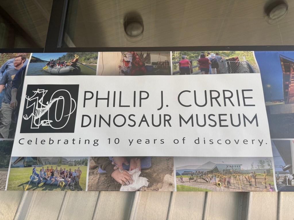
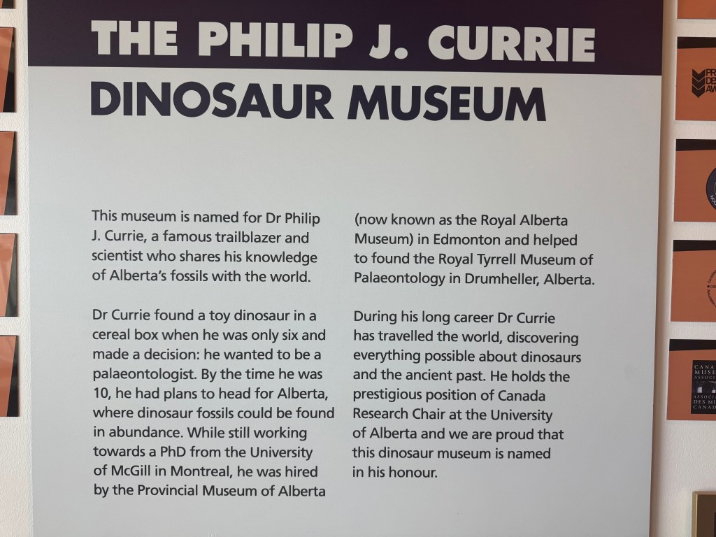
We stopped at the Currie Dinosaur Musuem about 12 miles west of Grand Prairie around 10AM. Not as expansive and impressive as the Tyrrell in Drumheller, but still interesting. Lots of dino footprint exhibits – over 10,000 dinosaur footprints have been found in the vicinity of Grand Cache, south of here. There was an especially interesting and informative video interactive display of plate tectonics over the last 500 million years.
I could have spent an hour turning the dial of the interactive display and watching the continents move across the face of the earth over millions, tens of millions and hundreds of millions of years with each spin of the dial. Forwards, backwards, then forwards and again backwards I spun the dial. I had initially missed the exhibit, but luckily Karen showed it to me almost as we were leaving.
Of special interest was the movement northward of the Indian subcontinent from next to Madagascar off the coast of east Africa up and into the Asian plate, and the subsequent creation of the Himalayan Mountains, as India, Nepal and Bhutan are squeezed against Tibet.
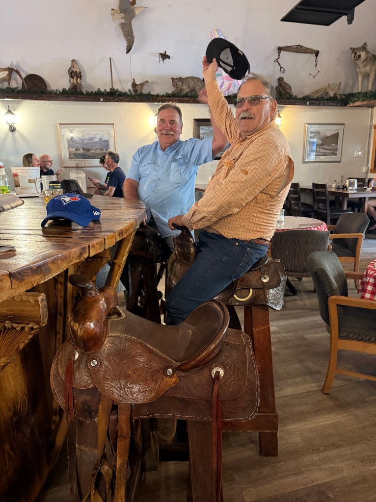
I attended a group social get together at 3 PM with the other trek participants. It was noisy and a bit raucous for my liking, but I endured. I am sure others felt the same way.
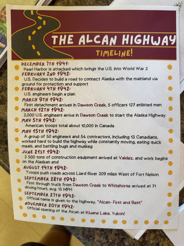
An employee of the Dawson Creek Tourist Bureau presented a slide show on the history of Dawson Creek, the Alaska Highway, the old city buildings that were moved, the railroad, etc. Dawson Creek has about 23,000 full time residents.
After that, cocktail hour and dinner. Allen again brought over oysters to BBQ, and again, they were delicious.
Karri’s brother Fred and his wife Lisa joined us at the table and in addition to BBQ oysters, there were two salads, two rice dishes, King Salmon, grilled corn on the cob, Steelhead, pork chops and hamburgers on the table. And some liquor. No pictures of the feast tonight.
Looking at our planned route yesterday, I noticed we would be passing through the town of Grand Cache. I wondered what the history of the name was, and came across the following:
How One Small Cabin Shaped Grande Cache Forever
The town owes its name to the efforts of Ignace Giasson, but who was this man?
Ignace Giasson was an Iroquois employee for the Hudson Bay Company. He was stationed at St. Mary’s Fort near Peace River and remained there from 1818 to 1821.
This was back when the Hudson Bay Company was still in the fur trading business with Europe. For whatever reason, Europeans really liked to turn beavers into fur hats.
This made fur incredibly valuable at the time. Giasson’s job was transporting large hauls of fur from British Columbia back to St. Mary’s Fort. But on one cold winter day, the snow was a barrier.
The snow was too deep for Giasson to continue his journey. But Giasson wasn’t about to leave such valuable goods behind.
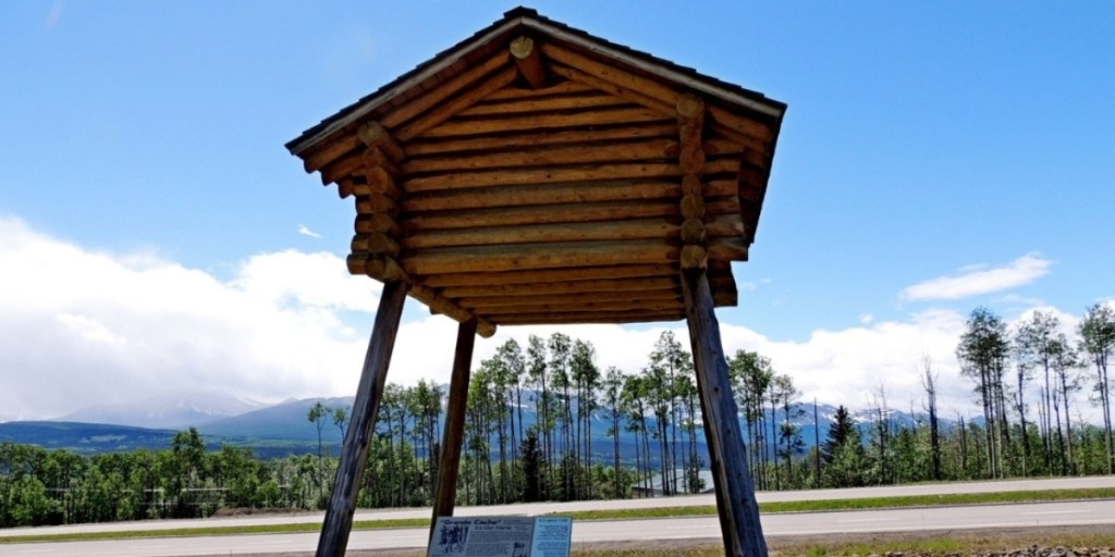
Instead, he built a fur cache to store the furs. These were cabins made from sturdy logs to withstand extreme winter conditions. They were about eight feet tall in the centre, allowing a person to stand inside.
More importantly, this meant there was plenty of room to store furs. Cabins like these were often built to store and protect various goods from animals, not just furs.
Things like trapping supplies as well as dried and cured foods. To prevent animals like wolverines and bears from entering, cabins were built as high as 20 feet off the ground!
A small-scale replica of Giasson’s fur cache at the Grande Cache Tourism and Interpretive Centre.
Against all odds, Giasson was able to construct a fur cache and protect a massive haul of furs. Because of this, Giasson’s fur cache came to be known as the “grande cache.”
As you have probably guessed, the Grande Cache we know today was named after Giasson’s famous fur cache. The specific location of his cache is unknown, but we know it was built along the banks of the Sulphur River at Victor Lake.
While Grande Cache owes its origin to a small fur cache at Victor Lake, it has grown into something much larger since then.
“Just as lgnace Giasson had to deal with adversity when he constructed his now famous fur cache, our town has had to deal with adversity, and this has led to our legendary reputation for survival,” wrote author James G. MacGregor in his book “Pack Saddles to Tete Jaune Cache.”
If you want to see Giasson’s famous grande cache for yourself, you can see a replica at the Grande Cache Tourism and Interpretive Centre. If fur caches aren’t your thing, the centre has something for everyone.
We spent about an hour at the Grande Cache Tourism and Interpretive Centre.


You must be logged in to post a comment.